Overview
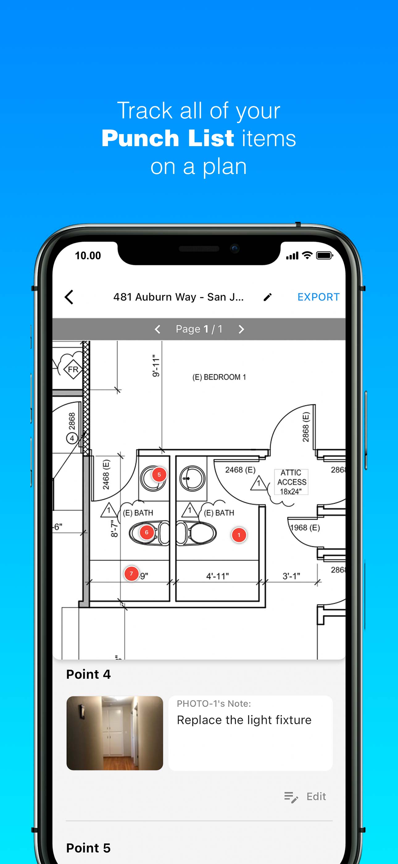
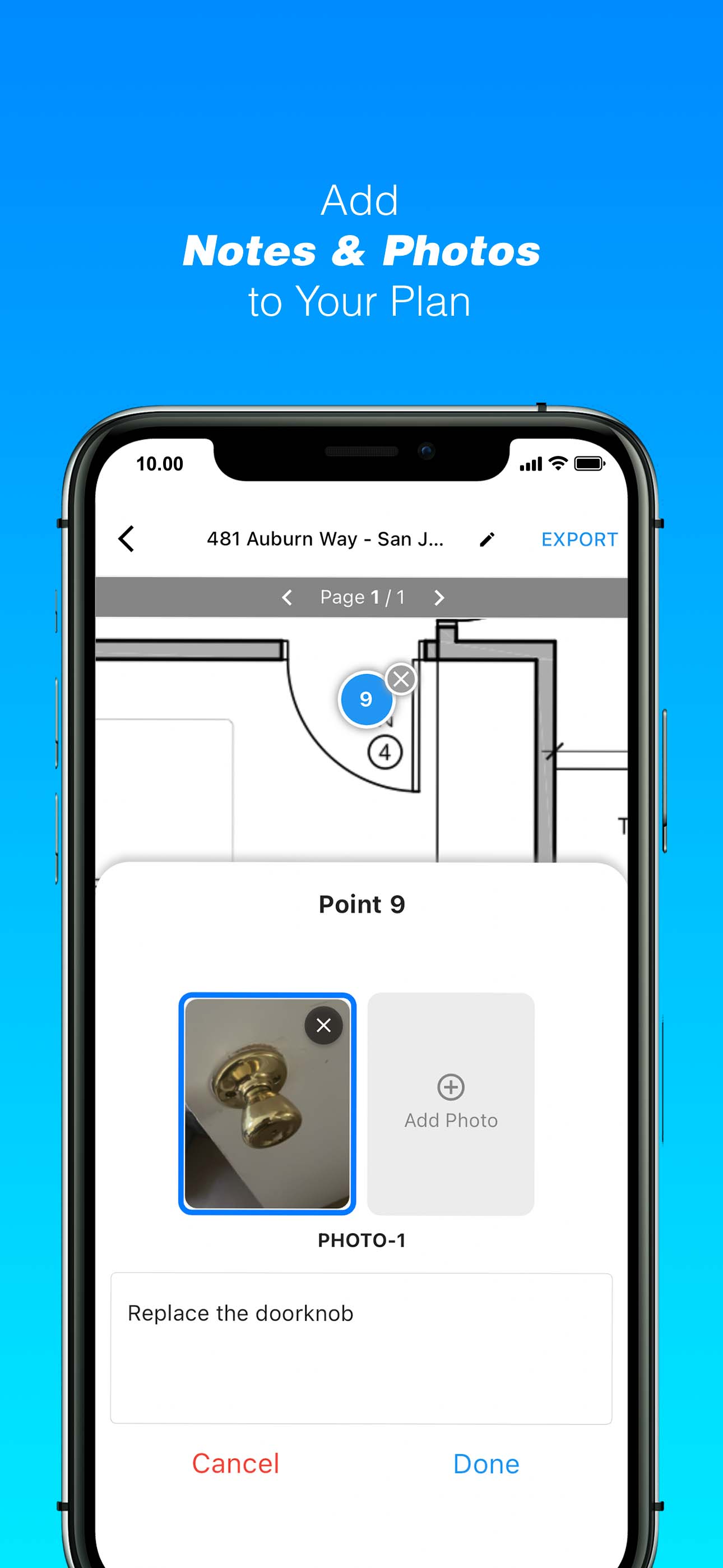
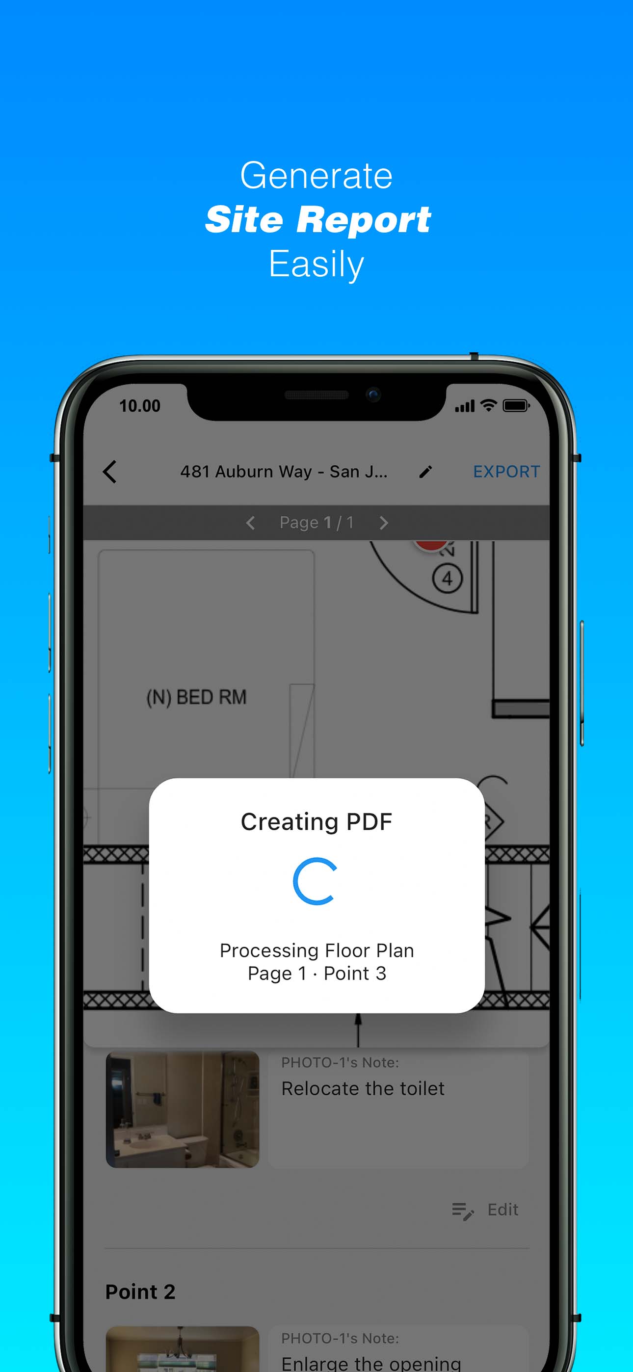
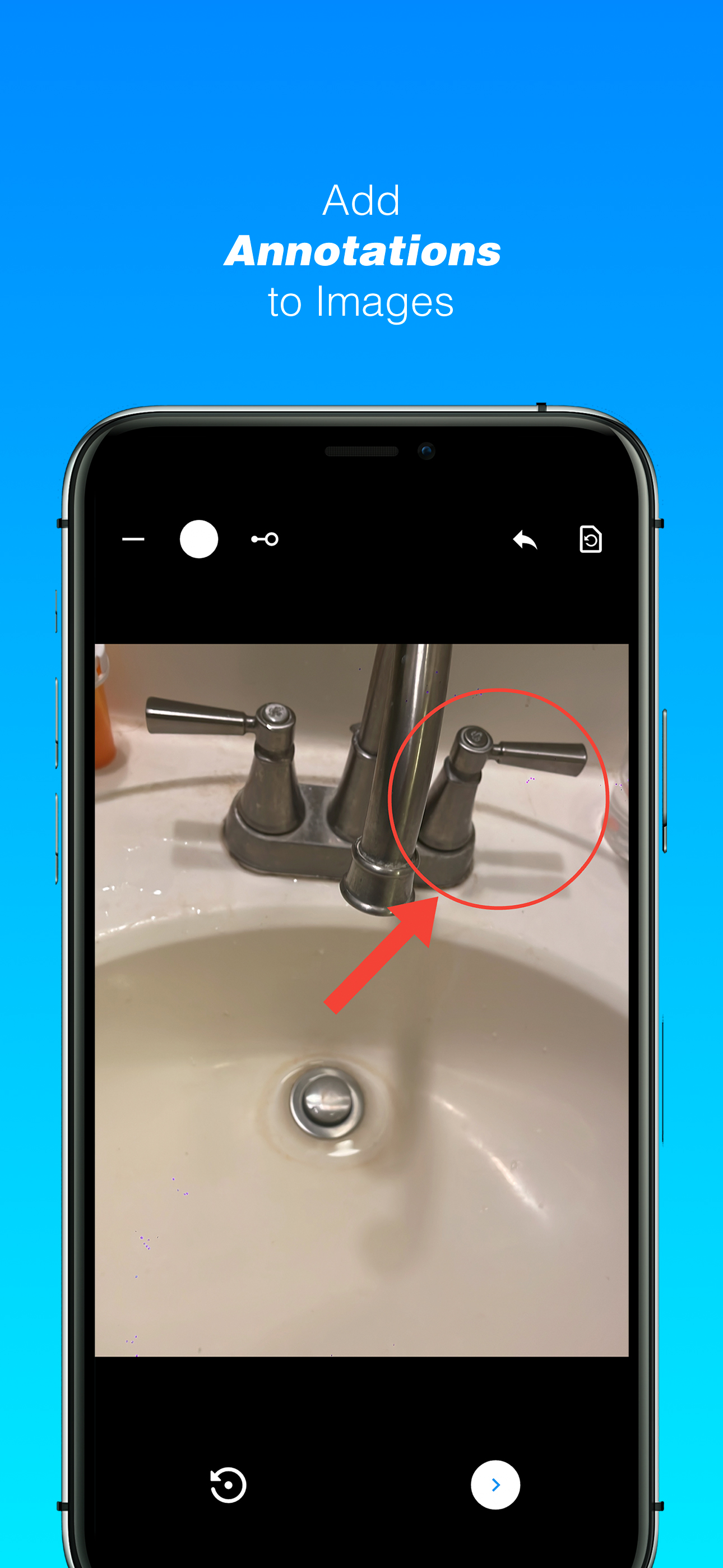
BuildSnap is a mobile application designed to streamline on-site documentation for architects, engineers, and property managers. By allowing users to capture photos and pin them directly onto floor plans, the app transforms fragmented site data into a spatially organized and easily navigable system. It bridges the gap between field conditions and digital documentation.
Role
Conceptor
Team
Feryandi Nurdiantoro
Institution / Year
2026
Tools
Flutter